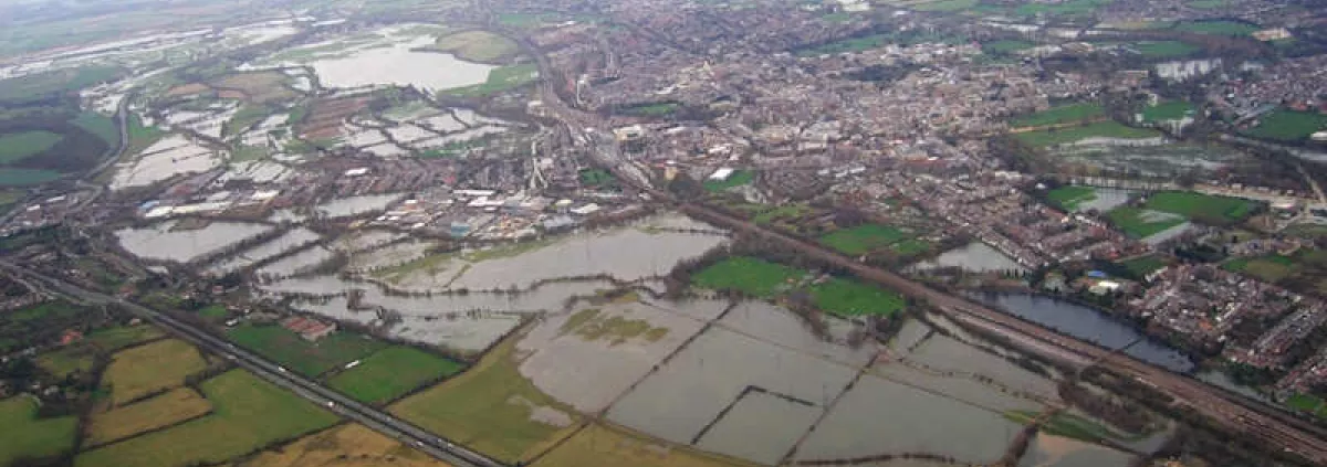
Oxford is situated within a narrow valley underlain by alluvial deposits from the River Thames and suffers from recurrent flooding. For example, in 2007 approximately 200 properties were affected with a significant number impacted by flooding from rising groundwater which was either the sole cause of the flooding or, the initial cause prior to inundation by fluvial waters.
In collaboration with the Environment Agency (EA), the British Geological Survey (BGS) has been conducting ongoing research into the causes of groundwater flooding in urbanised areas of the River Thames floodplain within the city of Oxford. These insights have helped the EA to develop a flood management strategy for the city.
The project has identified factors that control groundwater flooding in the Oxford area and mapped areas prone to groundwater flooding. This conceptual understanding of groundwater flow and surface water interaction has benefited from the construction of a detailed 3D geological model which in turn has formed the basis of a groundwater flow model.
The project concluded that significant urban groundwater flooding could occur as a result of direct infiltration of rainfall alone. It has also shown that high river levels in the days following major rainfall events are very important in controlling groundwater flooding. These results have provided greater confidence that the main recommendation of the EA's Flood Risk Management Study, to improve the conveyance of flood waters through the Oxford valley during fluvial flood events, will also reduce groundwater flood risk.
The project has also paved the way for BGS to continue research into understanding the dependence of the ecology of the study area on groundwater. While it is hoped that the Oxford floodplain can become a nationally important field observatory, building on the substantial monitoring network currently in place.