Plymouth University's Coastal Processes Research Group (CPRG) and their consultancy arm, Coastal Marine Applied Research (CMAR), led by Liverpool's National Oceanographic Centre (NOC) contributed to the new coastal hazard monitoring and alert system as part of the 2-year Cream-T project. Researchers at CPRG, in partnership with the Environment Agency (EA), Met. Office, Channel Coastal Observatory (CCO), Cornwall Council, Teignbridge District Council, Capgenimi and National Trust, built on previous research using digital communication, data networking and citizen science.
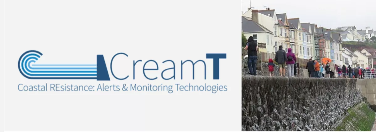
The project, used Penzance and Dawlish to demonstrate a new monitoring system able to issue vital real-time hazard alerts and flood data to national government agencies. Combining expertise from the Liverpool NOC WireWall instrumentation to collect field data on storm-induced overtopping and beach lowering over a 3-month winter period at Penzance and Dawlish in 2020/2021, real-time field data collection results were integrated into the operational SWEEP-OWWL overtopping model.
The CreamT project incorporated the new hazard data into the SWEEP service through a new web-accessible, open source data staging web service, thus linking models and new monitoring to validate current hazard services. The new web service exposes existing coastal, river and weather data, while the new system includes:
- A novel wave overtopping sensor to measure water levels and waves just before they impact a sea wall in addition to the depth, volume and speed of the water as it overtops onto public access areas behind the sea defence
- Cameras to validate wave conditions and confirm the occurrence of overtopping events
- Laser measurements of the pre- and post-storm beach levels during an event
- An international citizen science programme, CoastSnap, that monitors beach conditions over time through photographs.
Using the UK’s tide gauge network, measurement of potentially hazardous conditions are triggered when water levels reach sea walls, returning real-time alerts when flooding is detected. In conjunction with the EA’s flood forecast team, this information allows refinement of local hazard thresholds to understand uncertainties in local conditions at sea wall sites.
The measured, visual and audio data is used in interactive coastal walks, and made accessible through an Augmented Reality (AR) phone application, available for IOS and Android devices.The AR walk guides people to CoastSnap photo posts, encouraging participation in the RCMP beach monitoring. Promotion of the project will raise community awareness of changing coastal hazards and shoreline management initiatives such as #floodaware and #CoastSafe.